The Punakaiki Coast: Hokitika to Nelson (1 page)
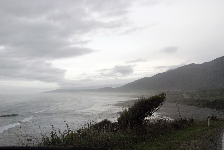
The road really hugs the coast here making its fairly tortuous way through the difficult geology of steep valleys and rocky forested hills.
Distances are measured out by Nine Mile, Fourteen Mile and Seventeen Mile Bluff. The cloud was very low and mixed with the spray being thrown up by a heavy swell coming from the Tasman Sea.
We passed the sad memorial to the Strongman Mine Disaster. 19 miners were killed by a gas explosion in 1967.
The Strongman was New Zealand's biggest coal mine and had been worked from 1939. The state-owned Strongman had to pay out between £200,000 and £250,000 when a Commission of Enquiry found mine regulations had been breached (see Christchurch Library).
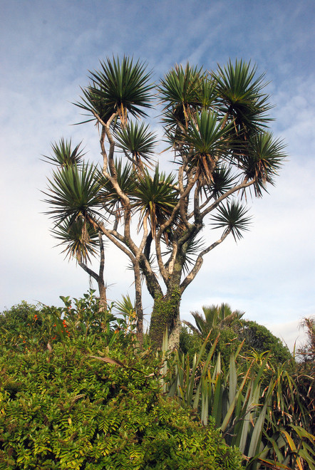
We continued through the tiny settlement of Greigs and then Barrytwon on a narrow coastal plain. A beautiful stand of Nikau Palms between the road and the Tasman Sea came into view. The ones we were looking at were maybe 15m tall so well over 200 hundred years old.
The trees had many uses for Maori. The leaves were used for roofing and clothing, the leaf heart and red flowers were eaten and the bark provided useful storage vessels.
Due to their slow-growing habit and their reliance on coastal habitats Nikau Palms are under some threat (DOC: Nikau Palms).

The sun had begun to burn off the cloud as we came to the Punakaiki (Pancake) Rocks pull-off. I was by now hungry and ordered a cheese and ham bagel and an excellent cup of coffee. With these in hand I marched around the Pancake Rocks path trying to take photos at the same time.
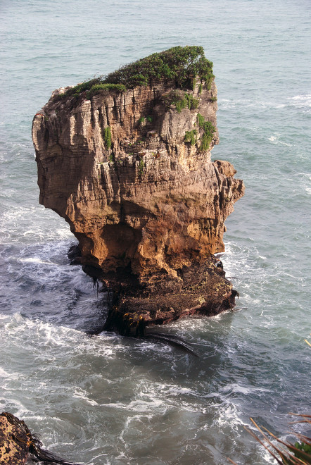
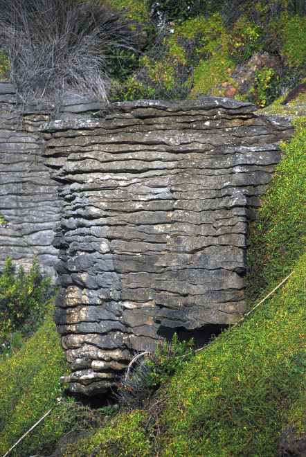
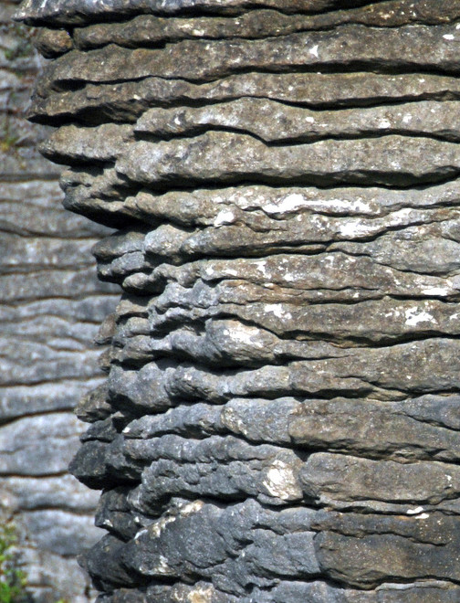
The limestone rocks at Dolomite Point are spectacular. The alternating thin layers of hard and soft rock have created a micro-landscape that looks like it has been cut out by a deranged milling machine.
We were early and there were not a lot of people about. The swell booming in from the Tasman Sea was more pronounced here and the wave lines receded way out towards the horizon.
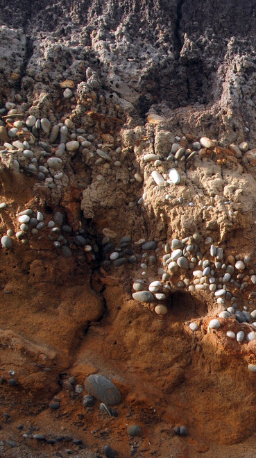
Formed 30 million years ago the limestone and mud sediments were laid down at the edge of the Zealandia continent as it was pulled away from the Gondwana super-continent.
Subjected to immense pressure the mud and limestone mix was somehow liquefied and separated out into alternating layers of hard and soft rock.
Later uplifted by tectonic forces working along the Alpine Fault boundaries (5MYA) the rock was exposed (first as a beach 125,000 MYA) and then as an uplifted cliff edge. Wind and water erosion has etched out and defined the layering of the formation.


