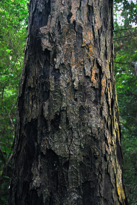
Rainforest on Ulva Island/Te Wharawhara - Paterson Inlet, Stewart Island
NOTE
This page is a cut down version of the full glory of Ulva Island/Te Wharawhara. The full version with 'History' and many more photos is here in my Stewart Island section.
Climate and Geography
Position and Latitude
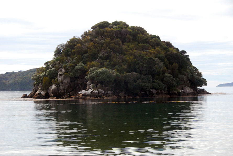
Ulva Island sits in the sheltered Paterson Inlet/Whaka a Te Wera on the eastern side of Stewart Island/Rakiura. Paterson inlet is a ria - a flooded river valley.
It is 3.5 km (2.17 miles) long and has an area of about 270 hectares (670 acres), the majority of which is part of Rakiura/Stewart Island National Park.
Ulva Island lies between latitudes south 46 and 47. For comparison Nantes in France, which sits at the the mouth of the Loire is at 47 degrees north and La Rochelle on the Atlantic ocean in south-central France is at 46 degrees north.
Climate
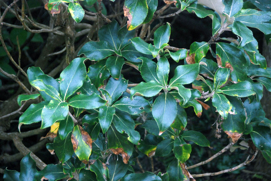
Although sheltered from the Tasman Sea and Southern Ocean Ulva Island is exposed to the fierce winds of the Roaring Forties and significant wind chop and salt spray can be whipped across the 10km reach to the west of the Island. As a conseqeunce trees and shrubs suffer considerable damage from winter storms.
Mean annual rainfall on Stewart Island is between 1500 and 2000mm a year and 1470mm for Oban, much lower than at the Fox Glacier on the west coast of the South Island. (Nantes gets 736mm per annum).
Snowfall and frosts are rare. Mean annual temperature is 8-10C and annual sunshine hours are low for New Zealand (1,400-1,600) compared to 2,200-2,600 for Golden Bay. (Nantes in France gets about 2000 hours.)
Prevailing winds are westerly and north westerly although it appears that Wellington may actually get more gale days over 33 knots than Stewart Island (see this summary of Southland weather).
A West Cost of Scotland climate with 50% more rain
In terms of climate Ulva Island might be said to have a 'low-lying west coast of Scotland' type of maritime-temperate climate. Mean temperature there is 9.5C, annnual sunshine at the Mull of Kintyre approach 1450 hours and prevailing winds are south-westerly and north-westerly and lowland coastal rainfall is about 1000mm a year. Even sea surface temperatures are roughly similar - Saber Reef at Stewart Island has an average annual surface temperature of 11C and for the south coast of England is 11-12C.
The one big difference is rainfall which is nearly 50% more on Stewart Island compared to lowland west coast Scotland rainfall.
The fact that these climates are so similar despite a nine degree difference in latitude (Glasgow 55.8N) attests to the massive influence of the Gulf Stream and the North Atlantic Drift in the western north Atlantic which raises air and sea temperatures a couple of degrees above their latitudinal average, particularly on west coasts.
It also attests to the cooling influence of the southern oceans on Stewart Island summer temepratures. For example Comodoro Rivadavia at latitude 45.5 S on the coast of Patagonia has a semi-arid climate with just 189mm of annual rainfall, an average daily mean temperature of 13.1C and a January average high of 26C.
Geomorphology
Ulva Island is made up of a series of low lying, undulating and gently sloping ridges that reach a maximum elevation of 72m. The shore line is heavily indented and made up of narrow inlets, broad sandy and rocky bays and rocky coast.
It is surrounded by some of the cleanest and clearest saltwater and brackish water in the world. This is due to the uninhabited character of most of Stewart Island such that runoff into Paterson Inelt is remarkably unpolluted and free of sediment overloads. The immediate waters off the island are a Marine Reserve and host a remarkable diversity of fish, seaweeds and shellfish.
The rocks of Stewart Island form part of the Median Batholith of plutonic basement rocks formed of granite and granitoid intrusions. They stand far enough away
from the undersea continuation of the Alpine Fault to not have been greatly affected by tectonic activity. This gives rise to relatively gently sloping rounded hills with the poor drainage
associated with granite country. Deep beds of rotten (in the UK 'bastardised) granite creates problems with slope stability where roads have been cut through the steep hills around Halfmoon Bay
(Oban).
The Median Batholith formed way before the separation of the Zealandia sub-continent from Gondwana (80 MYA) are,
'assumed to represent a long lived (Late Devonian-Early Cretaceous, 375-110 Ma) Cordilleran batholith, corresponding to a subduction zone along the margin of eastern Australia, before the formation of the Tasman Sea (83-55 Ma).
Wikipedia: Geology of the Tasman District
'A batholith (from Greek bathos, depth + lithos, rock) is a large emplacement of igneous intrusive (also called plutonic) rock that forms from cooled magma deep in the Earth's crust.' Wikipedia: Batholith
Erosion processes in exposed batholiths not only are caused by normal weathering forces but also by the
huge pressure differences between their former location deep in the earth and their new location at or near the surface. As a result, their crystal structure expands slightly and over time. This manifests itself by a form of mass wasting called exfoliation.
These pressure difference and crystal growth presumably accentuates processes that lead to granite rot and bastardisatiion.
For the geology of the rocks see Allibone, A.H., and Tulloch, A.J. (2004) Geology of the plutonic basement rocks of Stewart Island, New Zealand. New Zealand Journal of Geology & Geophysics, 47 (2). pp. 233-256.
Forest type
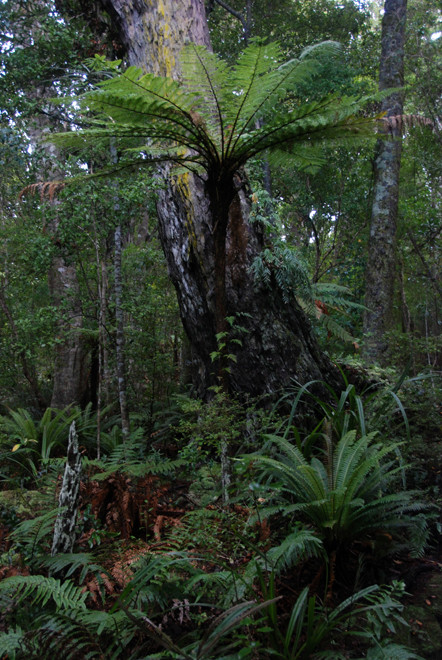
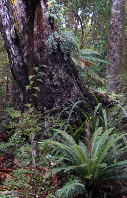
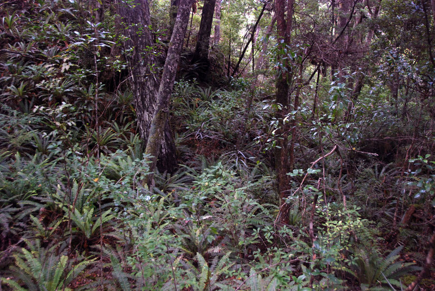
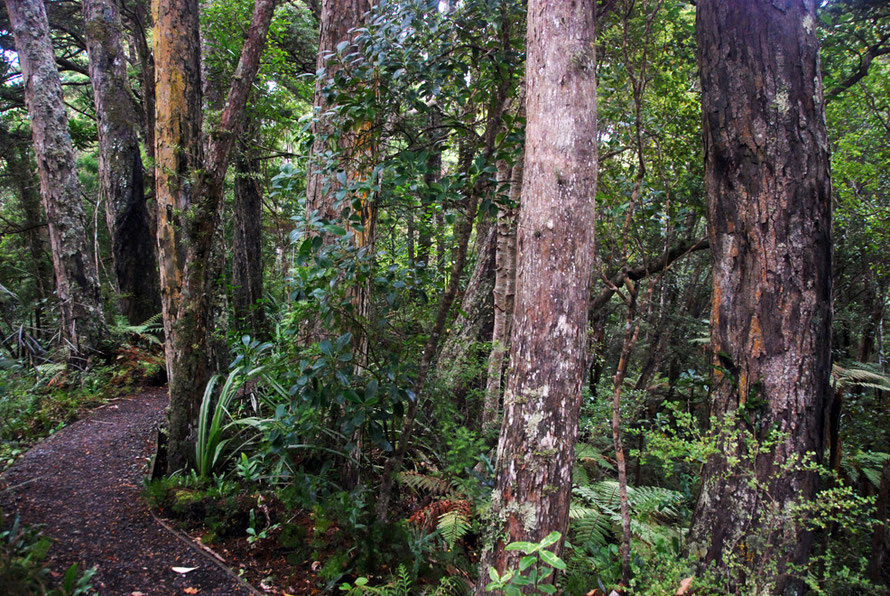
Ulva is one of the very few areas of podocarp forest in New Zealand that is largely undisturbed.
Apart from felling around the Post Office site the island was never subject to other tree felling and after petitioning of the government by Charles Fraill, who owned 7 hectares of the island, in 1899 the island became 'A Reserve for the Preservation of Native Game and Flora' (Tait below).
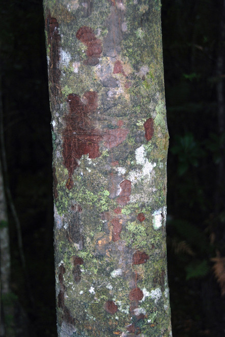
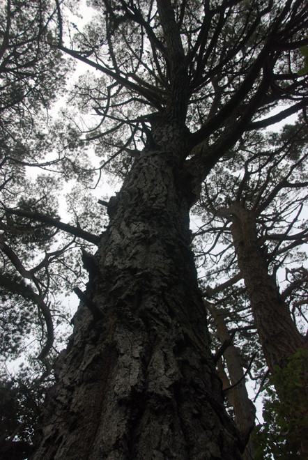
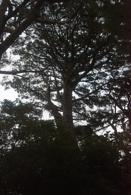
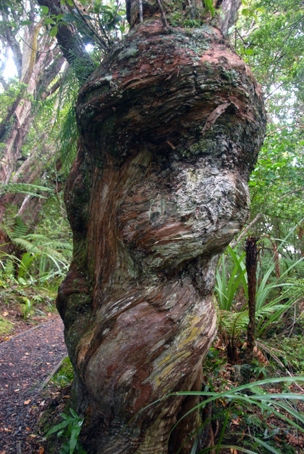
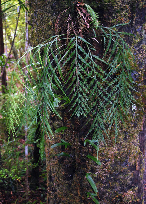
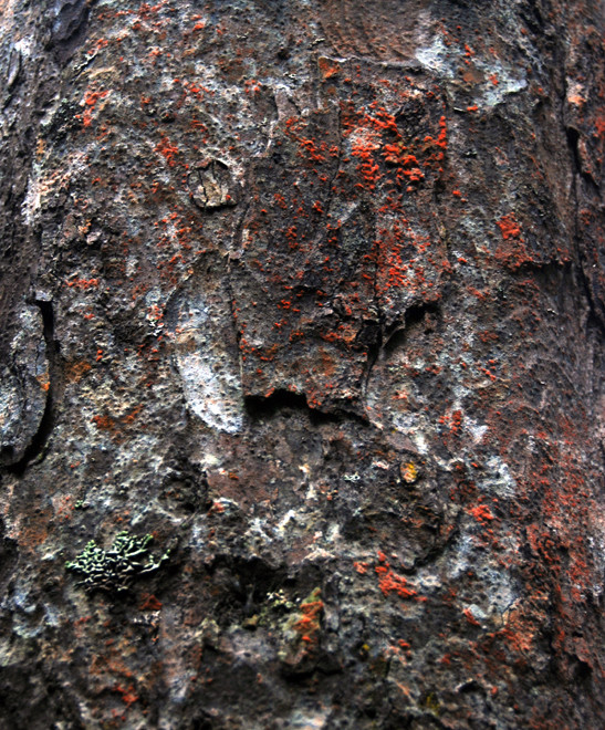
However, Ulva sits at the southern limit of Podocarp growth. Rimu do well and dominate. Miro are common but the majority show signs of malformation, wind shake. Hall's Totara are numerous but seriously deformed due to climate stress. They also suffer greatly from the depredations of Kaka where bark is stripped back to find insects and encourage sap flows for food.
Kaka attack is natural but with the island rid of rats the Kaka population is on the rebound. Even Rimu suffer attacks (see Peter Tait's summary of the state of Ulva's forest).
A 2008 invertebrate study found three dominant and distinctive habitat types on Ulva:
(1) coastal scrub dominated by Brachyglottis rotundifolia (mutton-bird scrub), Dracophyllum longifolium (inaka), Gahnia procera, and Olearia colensoi (leatherwood);
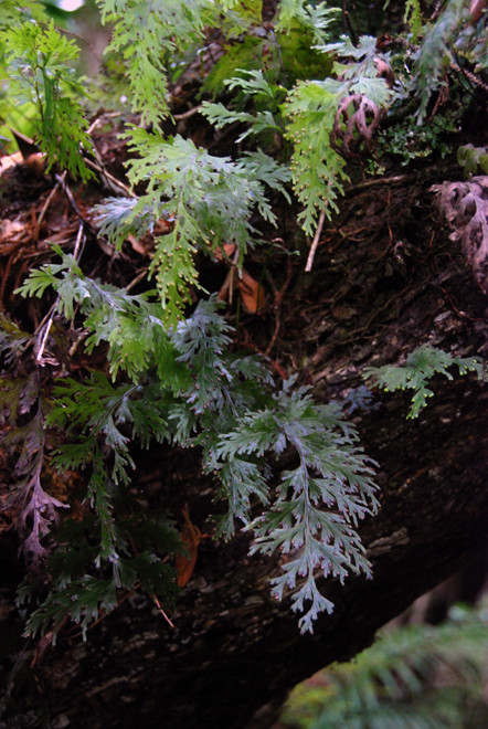
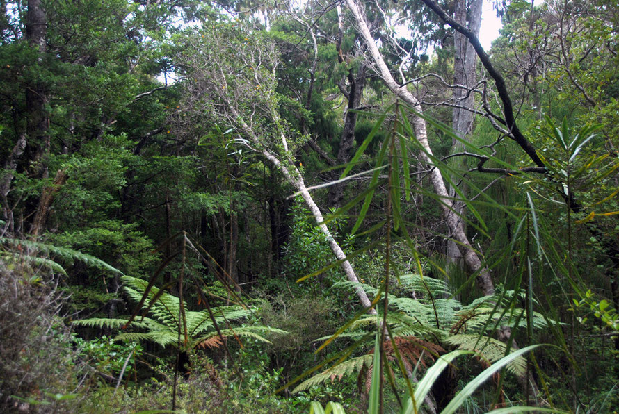
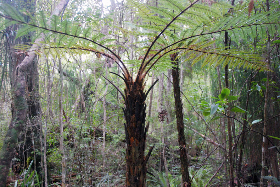
(2) coastal broadleaf forest of Metrosideros umbellata (southern rata), Wein- mannia racemosa (kamahi), Griselinia littoralis (broadleaf) and occasional Fuchsia excorticata and Dicksonia squarrosa (tree fern);
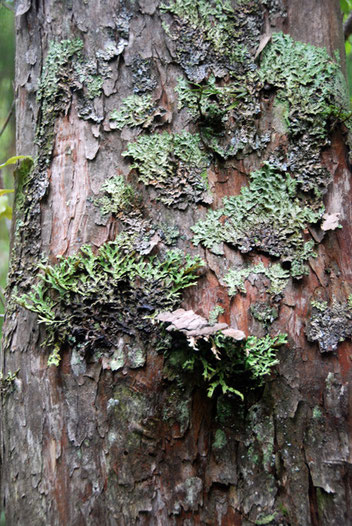
(3) podocarp forest dominated by Prumnopitys ferruginea (miro) and Podocarpus hallii (hall’s totara) with a dense bryophyte ground cover (Michel 2006)
(See Michel.P, et al 2008 'Invertebrate survey of coastal habitats and podocarp forest on Ulva Island, Rakiura National Park, New Zealand', NZ Journal of Zoology 2008 Vo.35. p.336).
Peter Tait (above) reports that kamahi on Ulva suffers badly from salt-laden winds and has been knocked back by recent bad winters.
White-tailed deer were introduced to Stewart Island in 1905 and eventually swam across to Ulva. Here they did huge damage grazing on understory and coastal shrubs. Rats also infested the island although the possum (released on Stewart Island in late 19th century) never got to Ulva.
The eradication of deer was carrid out by hand-painting 1080 pesiticide paste onto shrub leaves browsed by the deer. Rat were finally eradicated in 1977.
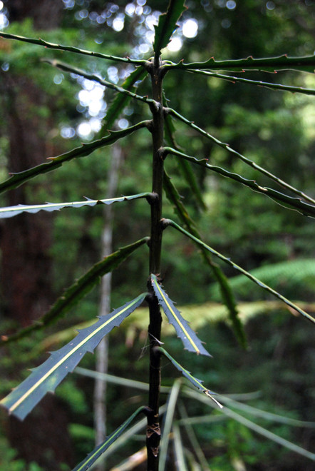
Since then the understory and regeneration have improved hugely and certain species, like Lancewood, where seed was eaten by rats, have made a remarkable recoverey in their density (see Tait above).
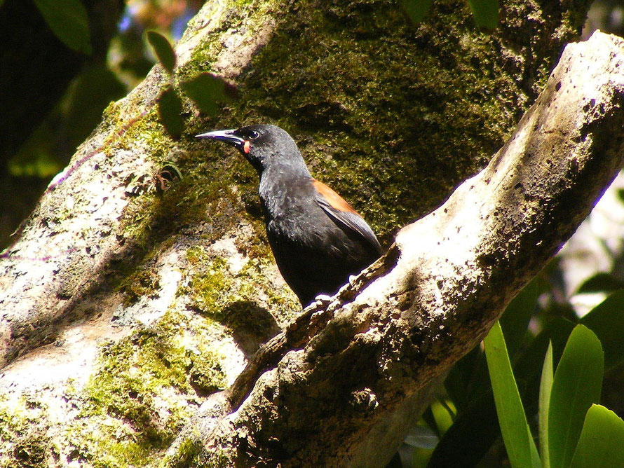
Once cleared of introduced predators birds were reintroduced to the island. These include the South Island saddleback (tieke), yellowhead (mohua) and Stewart Island robin (toutouwai). Other birds on the island that are rare on the mainland include the Stewart Island Brown Kiwi (tokoeka), Rifleman (Tītitipounamu), Yellow-crowned and Red-fronted Parakeet, and South Island Kākā or forest parrot, as well as several other species (Wikipedia).
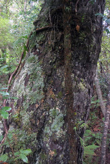
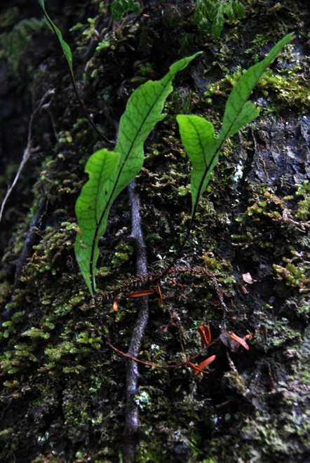
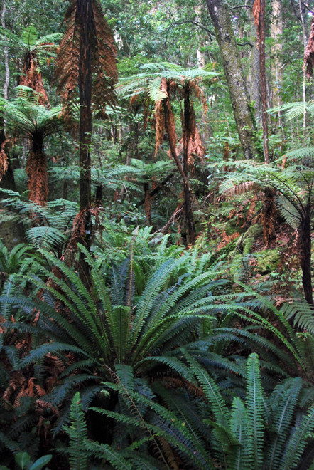
The forest on Ulva feels very different from the beech forests of Milford and the rata/kamahi forest of Fox Glacier. In fact, it was amazing to walk in a mature forest where the canopy and understory are clearly demarcated. Its the sort of place you would need to go to time and again to really get the feel of it.
But on this first outing it felt wonderful - cool, with dappled and darker shade, an undulating rocky terrain and an invigorating airy feel. And there was bird song and lots of it. I particularly remember the NZ pigeons - kereru - high up in the rimu and totara canopy, the wheka, the amazingly tame Stewart Island Robin, and the South Island Saddlebacks.
The lack of bunged up, tangle meant it was relatively easy to see the birds and the the weka and robins came to us.
It did feel like stepping back in time, as much as that is possible and the powerful water-taxi that got us there notwithstanding. We were particularly lucky or canny to go early when for a certain fact there were only two other people on the island.
Of course there were no Moa and the Haast Eagle was not perched up in one of the giant Rimu trees. And we failed to see a Kiwi despite running to keep in front of a visitor with a booming voice oblivious to the peace and quiet she was trampling through.
