Miranda Birds
We were awake at some ridiculously early time in the morning and after some breakfast set off for Miranda. We went through the southern suburbs of Auckland before turning east to go through
Clevedon and out to Kawakawa Bay.
It was amazing to be in New Zealand and driving out on a Sunday morning. We saw lots of Mynah Birds on the roadsides which I recognised from our trip to India. In fact, they are another
introduced species and have done very well.
The sun was shining and the expanse of Kawakawa Bay took our breath away. So much seemed familiar - from driving on the right to a host of other things - and so much was different - like Kawakawa
Bay.
The roads were pretty quiet but for a few troupes of blokes out on the motorbikes for a ride. For a few miles we drove through bush at the edge of the Hunua Ranges before narrow strip of flat
land that bordered the Firth of Thames.
We had to slow down at one point as the road was cordoned off. A friendly park ranger told us that they were opening a new recreational park that Sunday.
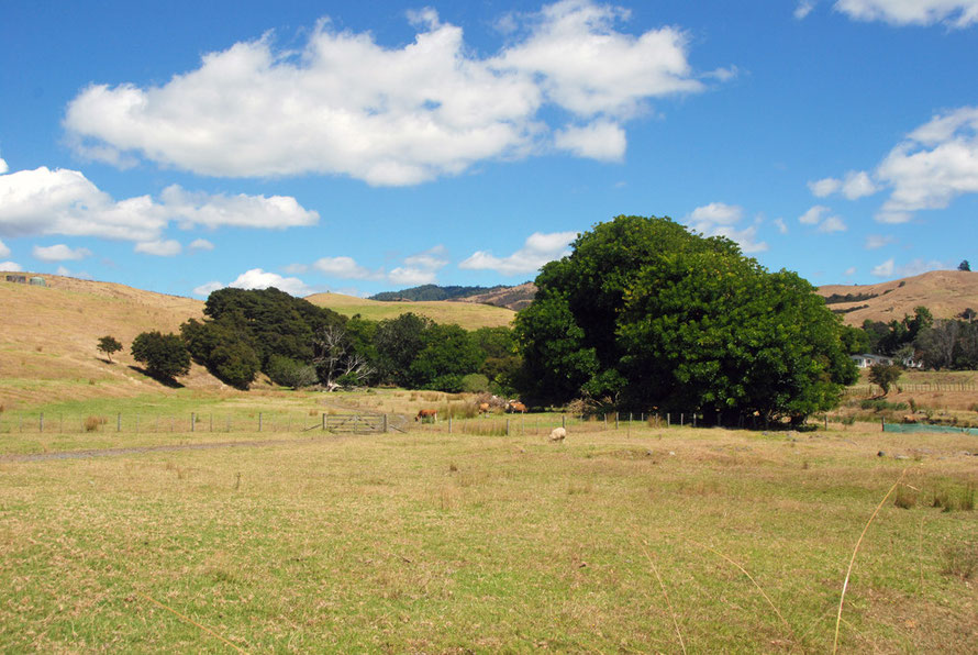
The Hunua Ranges are a block of hill country that rises to 688 metres (2255 ft) at Kohukohunu. With low soil fertility they were briefly exploited for their timber after confiscation from the Ngāi Tai Maori group after the New Zealand aka Maori - Wars (1845-72). 20,000 hectares was confiscated under the New Zealand Settlements Act of 1863 in retaliation for alleged resistance to New Zealand and Empire forces. 'In Treaty of Waitangi claims hearings in the early 2000s the Crown accepted that this action was unjust' but by then Maori land ownership of the larger region of Hauraki had been reduced to just 2% of the area (see Te Ara: Maori Society in Hauraki/Coromandel).
The ranges have subsequently become a major source of water for Auckland's rapidly expanding population and have been designated a Regional Park.
The Ranges are made up of tilted and fault-bounded sedimentary argillite rocks which are basically solidified (lithified) muds and oozes - Greywacke. Three million years ago the area that now comprises the Firth of Thames subsided between to fault lines and eventually was flooded by the sea between 18,000 and 7,000 years ago. At the southern end of this rift valley - the Hauraki Graben - the Waikato River deposited enormous amounts of pumice rich silt that eventually formed the extensive forested wetlands commented on by Captain Cook. At some point volcanic activity diverted the Waikato River to its present westward course through Hamilton to the Tasman Sea. The Hauraki Plains were once covered in vast areas of kahikatea forest but these have since been cleared. This has allowed new sediment deposits of mud to be washed into the Firth which has in turn promoted the rapid spread of mangrove forests at its southern end.
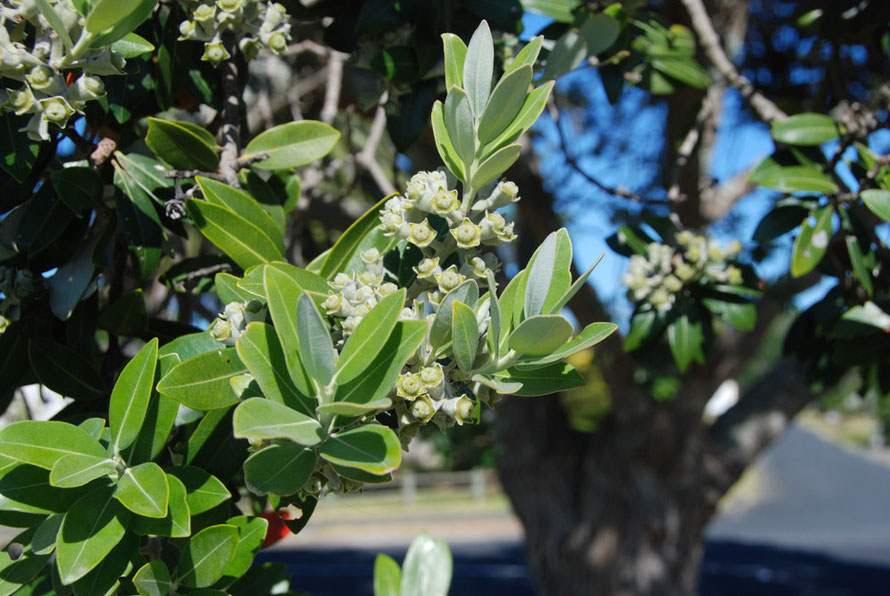
We drove on in the dazzling light stopping at Matingarahi Bay where 'boaties' were putting their skiffs out for a day's fishing and the beautiful green-lemon green trees came to the high water
mark. The Firth of Thames/Tīkapa Moana is one of the richest flatfish grounds in New Zealand. It was blockaded by the British Navy during the New Zealand Wars.
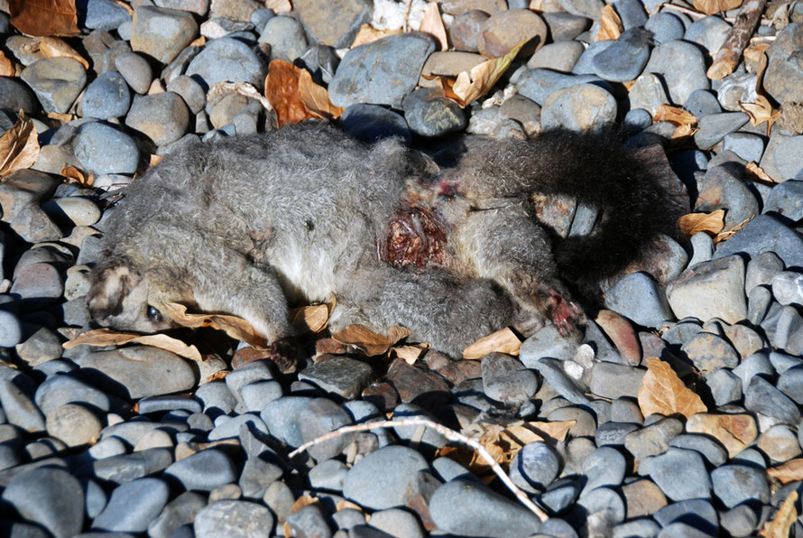
I wandered under the trees and came across my first dead possum, decaying in the later summer heat. I guess it had been hit by a car and crawled into the leaf litter and pebble beach beneath the tree to die. What I took to be bluebottles buzzed around it and its eye looked blankly out toward the bay. The toes on its foot were clenched in the rictus of death while it black tale looked perfect in the sun.
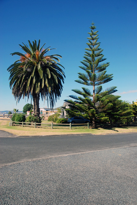
Dizzy with jetlag and the hunger that comes with the body clock knocked out of synch we drove on to the litt4el settlement of Kaiaua. A brilliant pink coffee shop glittered in the sun with the
seer fields and low hills stretching away to a perfect blue sky.
I remember phutzing around with the car's central locking system with that awareness of all the bits and pieces in the car and our being so far from home. Although there was only one other car
pulled up at the stand. We went into the deep shade of shop which had a slightly other-wordly ramshackle air. But the coffee was great and we bought some kind of pies and sat at the table outside
drinking the scene in.
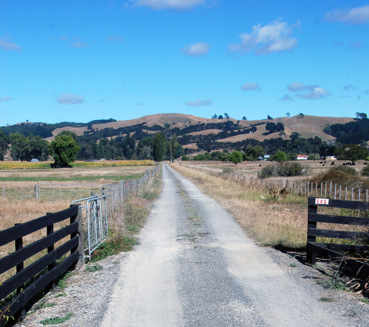
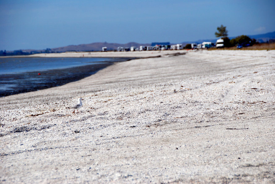
Refreshed and enjoying New Zealand immensely, we drove further down the west shore of the Firth of Thames. The back country stretched away up farm roads, the fields looking very dry. On the sea
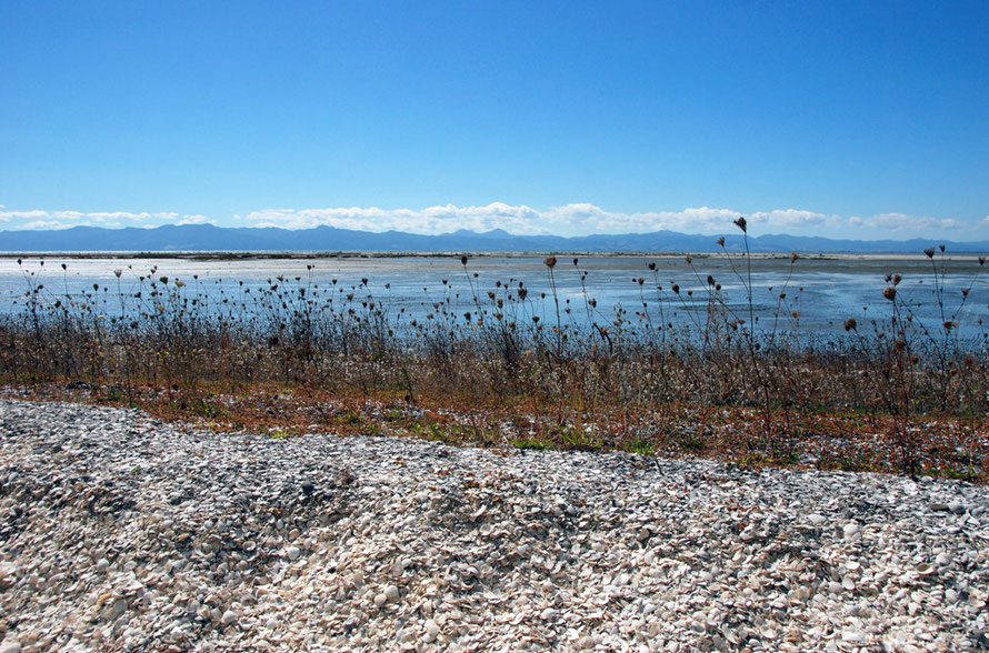
side of the road blindingly white beaches of piled up cockle shells came into view. These beaches form part of the Chenier plain of ancient shellbanks that charcterises the so-called Sea
Bird Coast that runs down the western side of the Firth of Thames.
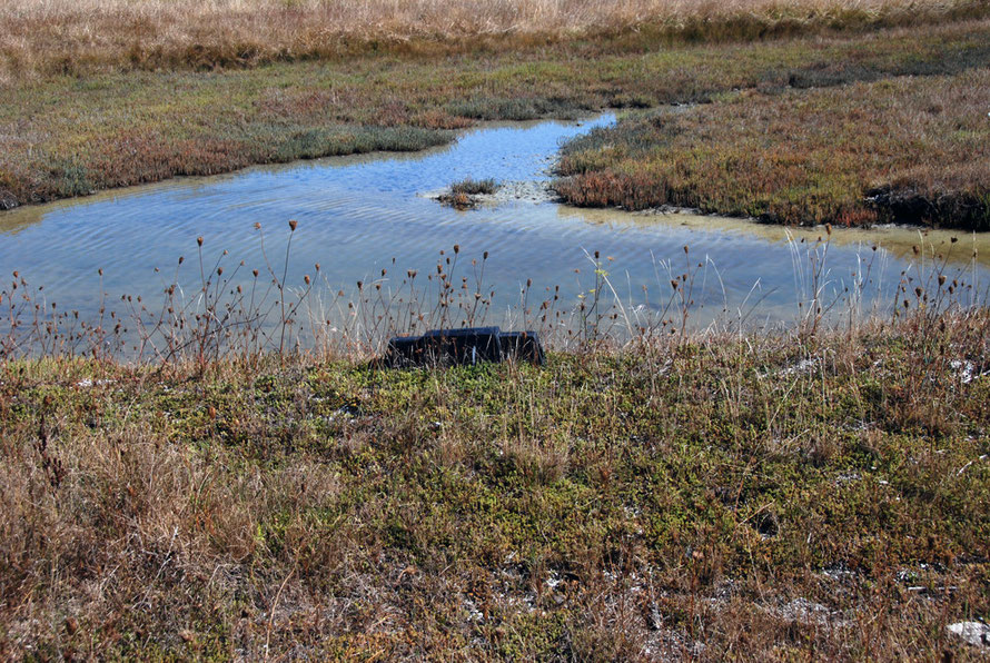
The Miranda Chenier plain is a succession of shell banks separated by raised mud embayments. The oldest shell bank at Miranda is probably 4,500 years old. Wind, tide and longshore drift pile the shells up into banks on the soft silt floor. Eventually the land behind them converts from mangrove to salt marsh to dry land. The natural and man made ponds (from shell excavation in the 1930s and 40s) forms an ideal shallow water, brackish habitat for wading birds and the iconic Pied Stilt. At spring tides when all other roosting sites are flooded the ponds and shell banks beyond them attract thousands upon thousands of migratory (between September and March) Bar Tailed Godwits, Red Knots, Sharp-Tailed Sandpipers, Wrybills and the ever-present Stilts. In the winter ducks are more present in the form of Paradise Shellducks, Mallard and Grey Teal.
The shell was excavated in the twentieth century to make slaked lime fertiliser at the local limeworks. The bagged lime was shipped around the Firth and to the Hauraki plains by tugs and barges.
The works closed in the 1950s.
Miranda is named after the British warship, the HMS Miranda that, along with the New Zealand Government gunboat, Sandfly, shelled the Maori settlement of Pukorokoro ( where Miranda now
stands) in 1863 during the New Zealand Wars which were fundamentally a land dispute between the expansionist settlers and the British Crown and Maori iwi - peoples/nations - suffering land loss
and rapidly rising mortality through the introduction of pakeha diseases. The war raged across the north of the South Island and the main part of the North Island and at one time 18,000 British
troops were employed along with local forces and militia to suppress the rebellion.
Once shelled and the Maori pa stormed the British and New Zealand forces constructed a fort that commanded the local area and its important trade routes from a low hill.
Pukorokoro menas 'the long-throated seine net' in Maori.
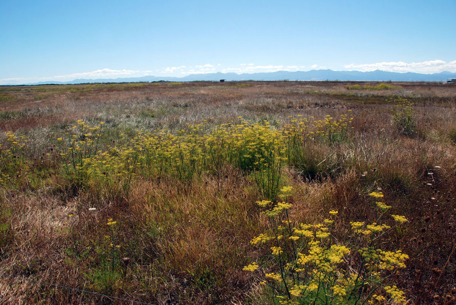
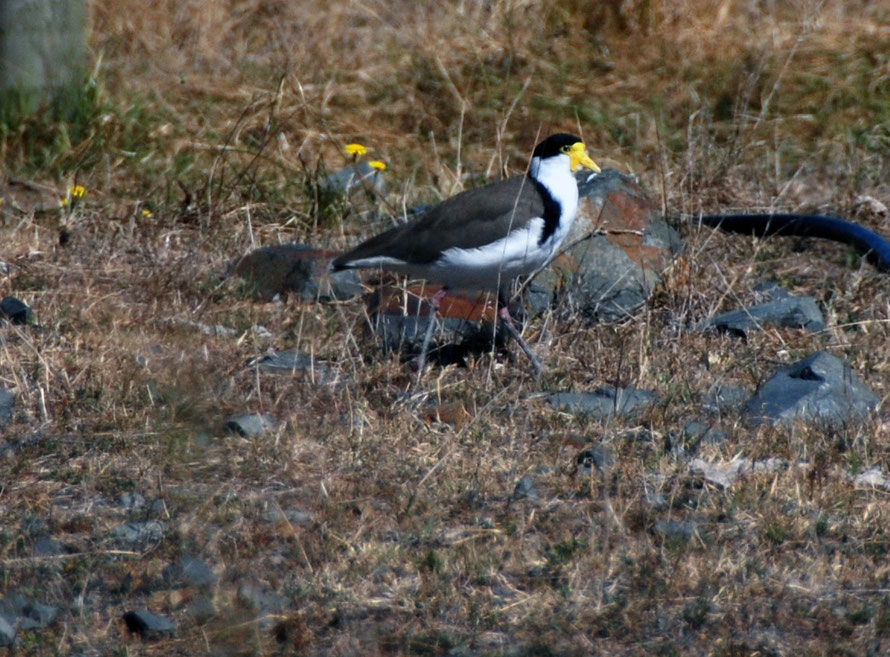
As we drove down to the Reserve buildings I spotted a Spur-Winged Plover in the sparse and burnt pasture.
Spur-winged plovers (Australia - 'Masked lapwing') - (Vanellus miles) - are one of only two breeds of 'native' bird (the other being the southern black-backed gull) that are so numerous as to be afforded no legal protection.
Since the 1930s they have rapidly colonised New Zealand after arriving from Australia and are the source of complaint from brassica-growers and airports where they account for 37 per cent of bird strike incidents.
Their call is a grating staccato rattle not dissimilar in some ways from a European coot.
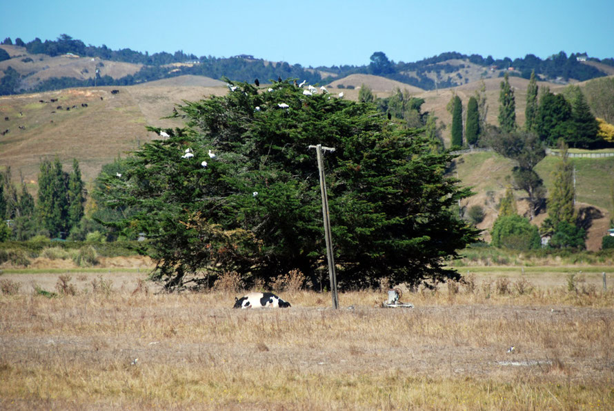
There was also a roosting tree full of what I thought of at the time were egrets. But on later inspection of the photo they were clearly Spoonbills. This and the clarity of the light and the
sweetness of the air reminded me of our brief stay in the Little Karoo town of Montagu in South Africa's Western Cape province and the roosting tree we had come across there.
The Reserve has an impressive visitor centre with great books and wall displays but it was also rammed to the gunnels with visitors. It turned out there was some special event on to which we were
cordially invited but we preferred to go our own way.
By now it was seriously hot and the summer light was blinding for two jetlagged Brits recently transported from the dull days of an early UK spring. We dithered about taking the longer path
through the salt flats and decided to move on. We lucked out in that we came to another less people entrance to the reserve and a shorter walk across the salt marsh, mangroves and samphire of the
mud flats to the shell banks and hides.
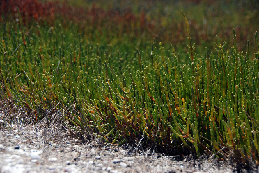
The samphire is a New Zealand species (salicornia australis) which is a little smaller than the European variety, not so fleshy but supposedly 'every bit as tasty'. In the past Samphire ash was used as a source of soda ash in glass
making and is used in cattle feed when it can be grown commercially or on effluent from aquaculture activities such as shrimp farming.
The Australasian subsoecies of the mangrove tree - Avicennia marina subsp. australasica - is not greatly different from ther mangroves. It has aerial roots to gain oxygen, can withstand salt and
brackish water, and if the water is too saline it can excrete salt from the underside of its leaves. It is abundant in the Auckland area growing around the edges of the many lagoons of the
Manukau Harbour.
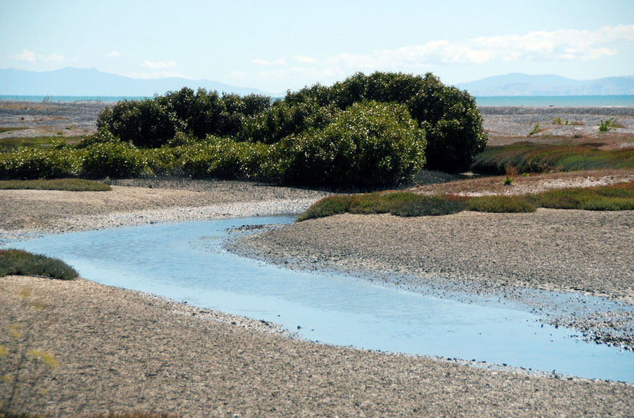
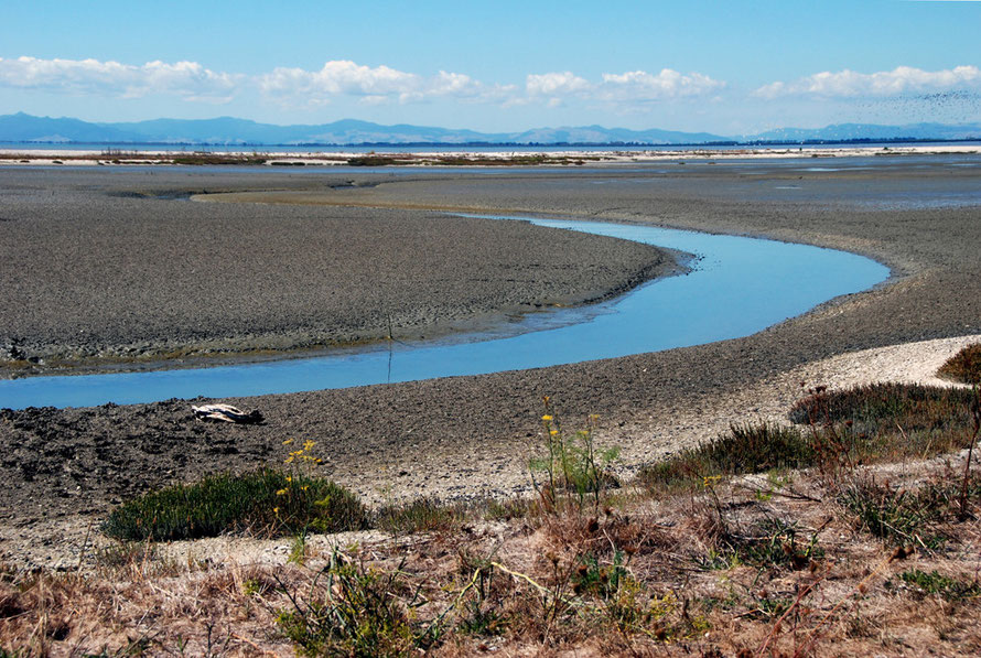
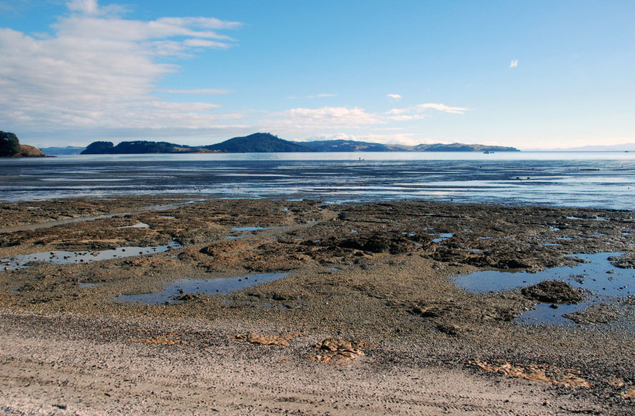
When we got to the 'water's edge' and one of the Reserve's hides it became apparent that the tide was low on a neep tide (waxing quarter moon) and the birds were a long way out on the mudflats.
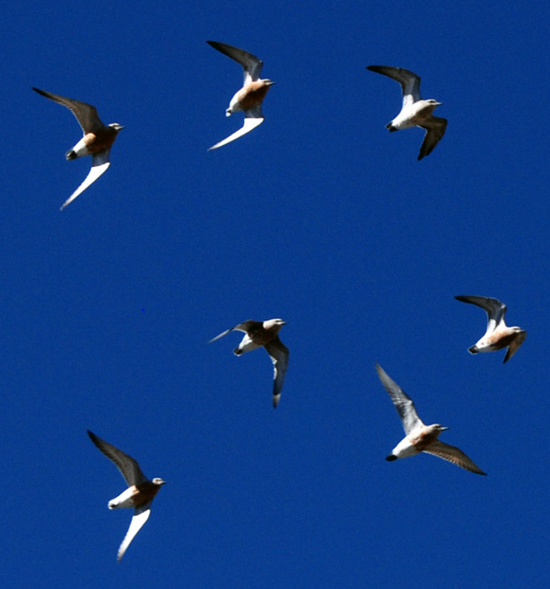
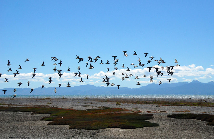
But something - a bird of prey perhaps - was making them flighty and I managed to get some photos of peletons of Red Knots and shags and the graceful twos and threes of the Pied
Stilts.

