Coast VI: Akrotiri Peninsula

I visited Akrotiri salt lake after a long day in the saddle. I'd driven around the Krasochoria wine-villages behind Limassol and I thought I'd just 'pop' down to the salt lake to see if there were flamingos around. (There were.)
I was surprised how long it took through growing Limassol traffic, Kolossi and then the intense, straight, Juniper-lined road through citrus country, through the middle of what looked like a sophisticated UK military listening post (No photographs, No stopping), and then along the little raggedy strip of steak houses and eating places for UK servicemen on the base. I eventually was stopped by the barrier and barbed wire of the UK airbase which continues to prove its worth for the UK and USA in the Middle East and on the Southern flank of the NATO.
I took the little turning to the left which is signposted for Agios Nikoloas ton Gaton - St. Nicholas of the Cats. I stopped almost immediately to take photos of a beautiful field of wild anemones catching the evening sunlight.
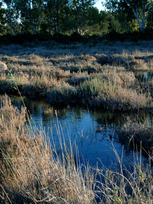
The road then pushes out into the brackish marsh in front of the salt lake proper. To the right beyond the pools of stagnant blue water is a line of eucalyptus trees, barbed wire and beyond green fields that mark the boundary of the UK base.
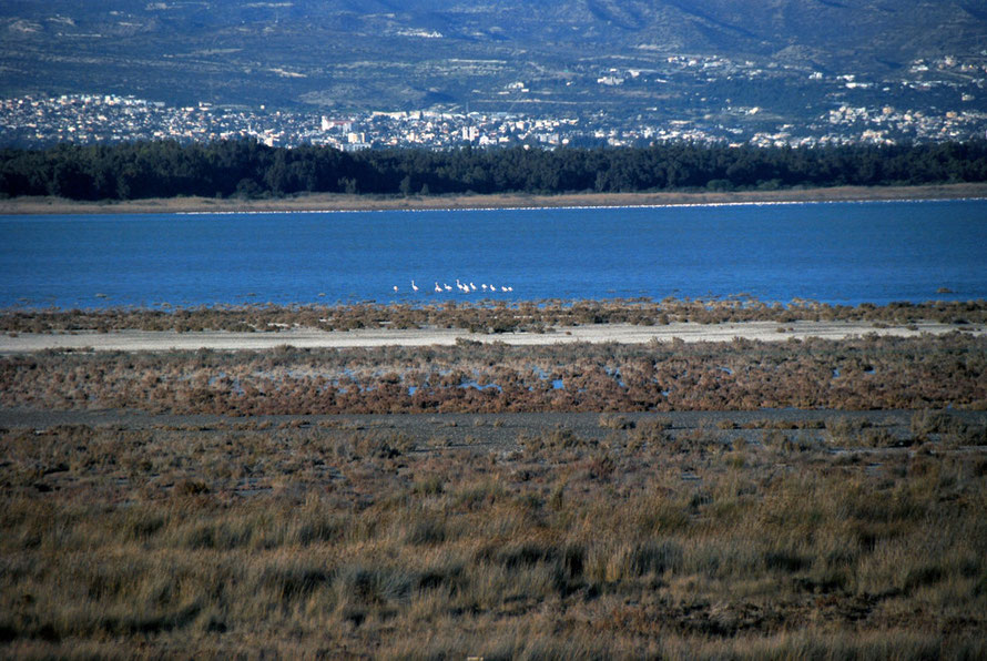
The panoramic view of the the reed beds, the salt lake, Limassol and its dock-cranes and the entire east-west length of the Troods massif is spectacular. Topping it off were the very distant groups and then huge stretched out masses of flamingos. It was quite a site in the falling, cold light of an early January evening.
The single-track paved road deteriorated wildly beyond this point and entered thick bushes and butted up against the eucalypt boundary of the base. Huge potholes and sump-busting bumps slowed my progress.
I passed the turn-off to the right for the Cat Church and then, strange to say, passed a white-on-blue sign which I have always taken to mean, 'Motorway ends here.' Puzzled by this piece of drolerie I slowed to a crawl and suddenly found myself at the edge of the dried-out bed of the salt lake, with a tangle of rusting barbed-wire runing up its southern edge.
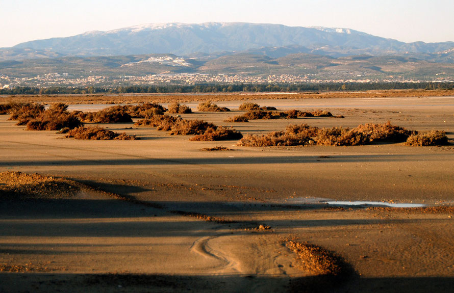
The low evening sun cast long shadows of bushes across the sand to the reed-beds and mountains beyond.
I gingerly edged my way out onto the sand, reassured by the swervy tracks of many cars. My fear was that I would get across to Lady's Mile Beach and then find that I was trapped on the salt-lake by a fence or other obstacle and be obliged to come back.

Caution ruled the day and I was too tired for any kind of misadventure. I wove my way back through the dense bushes and potholes to the main road determined to start my jouney back to Nicosia. Only to stop at Kolossi and take pictures of the castle, pepper tree, sugar factory and church in the beautiful, golden light.
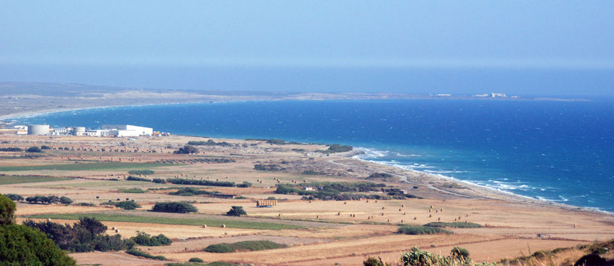
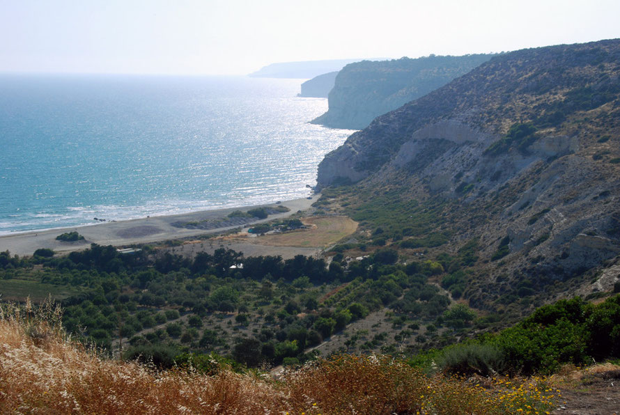
I've included here a series of photos taken from the vantage point of Kurion looking to the east and west along the shores of Episkopi Bay. It was a wildy blowy day. For more on Kourion see my page here.
